Displaying Elevation
You can use ImageConnect's elevation tools to display elevation and copy elevation values.
Displaying Elevation
If your account has access, the Display Elevation option appears in the ImageConnect menu, and allows you to view the elevation at your cursor's location on the map. Display Elevation is turned off by default, but you can toggle it on or off by selecting it in the menu.
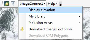
Display Elevation Option
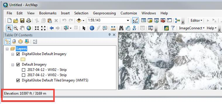
When Display Elevation is toggled on, you will see the elevation at your cursor's location on the bottom left of the ArcMap status bar.
Elevation Values
To get an elevation value, you must be at a map scale of 1:100,000 or greater. If the map scale is smaller than 1:100,000 you will see a message stating that the scale is too small.
If there is no elevation data at the cursor's location on the map, you will see a message stating that there is no data.
Copying the Elevation Value
To copy the elevation data for a specific location, right-click on that location and select Copy Elevation.

Copy Elevation Value
When you paste the copied elevation, you will see the decimal degree longitude and latitude of the location you selected, along with the elevation integer in feet.